
Government, experts, civil society join forces to counter Russian cartographic propaganda
Opening the event, Maksym Maiorov, a representative of the Centre for Strategic Communication and event moderator, told how, immediately after the Russian occupation of Crimea, maps began to appear in the information space that reflected the Russian view of the borders.
“Initially, these were outlines of maps of Ukraine on the Internet and on television. Subsequently, a more threatening trend began: maps that undermined the principle of territorial integrity of Ukraine began to appear among specialized cartographic products in countries friendly to Ukraine,” Maiorov said.
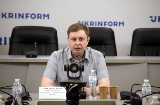
According to the spokesperson for the Center for Strategic Communication, this is a serious problem, since geographical maps have always had a serious impact on societies. The cartographic image of one’s country is part of the identity of the nation, as well as state symbols: coat of arms, flag, and anthem. The aggressor seeks to impose a “new image” of its territory on everyone, whereas the country that defends itself tries to stand up for its image. No wonder that cartographic images are sometimes even placed on state symbols, for example, on the flag of the Republic of Cyprus.
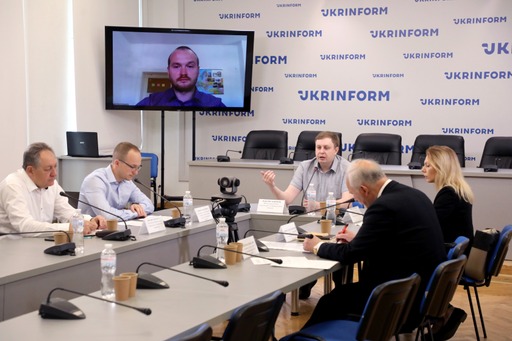
The founder of the public initiative “Stop Mapaganda! Information de-occupation of Ukraine” Mykola Holubei spoke in more details on the problem of the dissemination of Russian cartographic propaganda.
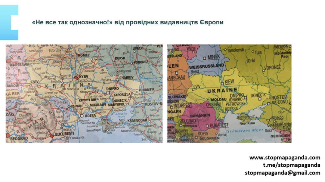
The activist demonstrated clear examples of incorrect display of the state borders of Ukraine in Western cartographic publications. In his opinion, it is not about negligence, but about the consequences of the Kremlin’s deliberate influence on the policy of leading cartographic companies in the West through the Russian Geographical Society headed by Russian Defense Minister Sergei Shoigu.
Holubei is convinced that it is possible and necessary to counteract Russian lobbyism in cartography: “We have a complex problem that requires a comprehensive solution. We are developing five levels of pressure on the companies that spread fakes about Ukraine. Each of the levels has its own goal, and they all reinforce each other. The state level provides for the creation of a working group with the engagement of a wide range of officials, cartographers, and lawyers. The media level implies publications in Ukrainian and international media. The legal level provides for private lawsuits. The public level is about engaging citizens in information pressure. Finally, the sanctions level is the imposition of sanctions on companies that distribute Russian cartographic propaganda.”
The main goal of the campaign, according to Holubei, is to consolidate the idea in the minds of Europeans that the only borders of Ukraine are the borders of 1991, and the only image of Ukraine is the official image of the UN. Among the intermediate goals, the activist named: stopping the sale of fake products and their disposal; conducting official investigations within companies; official letters to customers acknowledging the sale of fake products; financial compensation of offending companies in favor of popularization of Ukraine.
The publishers of such products often justify it by the need to adhere to the principle of realism: they say that Russia really controls Crimea, so Crimea should be shown as Russian.
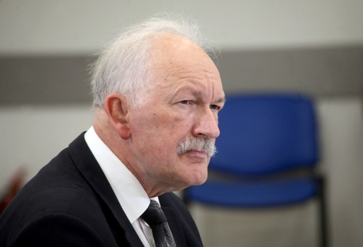
“One of the fundamental requirements for a cartographic image is the reliability of the information provided on the map. This is one of the basic requirements. However, when we discuss the image of the state border, then there is also responsibility. I’m certainly not talking about propaganda maps where publishers can depict what they want. But the image of the border is a serious matter,” commented Rostyslav Sossa, a leading researcher at the Institute of History of Ukraine of the National Academy of Sciences of Ukraine, a member of the Presidium of the Academic Council of the Ukrainian Geographical Society.

As an example of the consequences of wrongly depicting the state border, the scientist cited the case of the conflict that occurred on the Damansky Island between the USSR and the PRC. This is a small island on the Ussuri River, which indicated the Soviet-Chinese border. One of the reasons, or rather the cause for the conflict, was the image of the state border. Soviet cartographers showed a mark of the state border between the island and the Chinese side, after which an armed conflict broke out. It was the first time that the Grad MLRS was used in combat conditions.
The cartographer is convinced that the state border should be depicted as it is recorded in contractual international documents, and differences with the actual state should be reflected with the help of notes.
Acting President of the Ukrainian Geographical Society, senior researcher of the V.M. Koretsky Institute of State and Law Viacheslav Oleshchenko said that the Ukrainian Geographical Society predicted the emergence of such a problem immediately when the armed aggression of Russia in Crimea began.
In 2016, the Society issued an Appeal to the global geographical community signed by the then Chair Yaroslav Oliinyk. In the document, Ukrainian geographers called on the General Assembly of the International Geographical Union, the participants of the 33rd International Geographical Congress in Beijing, and the entire global geographical community to support Ukraine and not to recognize any changes in the status of the Autonomous Republic of Crimea and the city of Sevastopol, to refrain from any actions or behavior that could be interpreted as recognition of any change in status.
To substantiate the relevant request, the Appeal provided exhaustive legal arguments in favour of Crimea’s belonging to Ukraine, developed in cooperation with the state bodies of Ukraine.
When the full-scale Russian aggression began in February 2022, the Ukrainian Geographical Society raised a question with the International Geographical Union about the termination of Russia’s membership in it.
“I have to thank, to recognize the great understanding of the situation by the leadership of the International Geographical Union, and these are representatives of all regions of the world: there is one president, and there are vice presidents who represent different continents. And on March 7, 2022, the Executive Committee decided to suspend Russia’s membership. I do not know which international organization, except the UN, especially a scientific, non-governmental organization, reacted faster than the International Geographical Union,” Oleshchenko said.
Therefore, before convening the next International Geographical Congress in Paris in July 2022, Ukrainian geographers managed to gather additional arguments for the national geographical committees of other countries and convince the General Assembly of the organization of the need for the final expulsion of Russia. This decision was adopted unanimously in Paris.
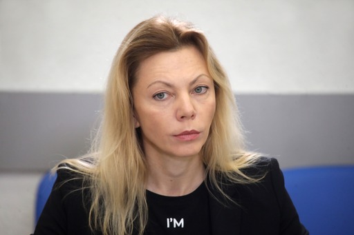
The director of the Department of Public Diplomacy of the Ministry of Foreign Affairs Iryna Borovets told about the role of the MFA in combating the incorrect image of the territory of Ukraine.
Given the scale of the work, not least in connection with the active development of social media, Ukrainian diplomacy decided to garner the support of civil society to attract the attention of the domestic and foreign community to the facts of incorrect depiction of Crimea.
Since 2015, the Ministry has been implementing the project “Crimea on the World Map” (#CrimeaMap #CrimeaIsUkraine); within its framework, it conducted several waves of public campaign. Among the success stories, the official mentioned how the British publishing house Oxford University Press republished the socio-economic atlas of the world in 2016 with the corrected image of Crimea, or the French Larousse made adjustments to the socio-economic Atlas of 2017. Another example is the case of the correction on the official website of the 2020 Olympics in Tokyo map in 2021, where Crimea depicted as separated from Ukraine.
“Every year, our embassies successfully respond to dozens of cases of incorrect depiction of Ukrainian territories. In less than half a year, we have more than 20 responses. Last year, there were 25 such corrections,” the representative of the Ministry of Foreign Affairs of Ukraine noted.
She also stressed that the algorithm for responding to the established facts of incorrect depiction of Ukrainian territories is generally developed. It provides for official requests and meetings of diplomats with representatives of institutions (companies, publishing houses, etc.) to clarify the official position of Ukraine, inform the relevant executive authorities of the country, conduct relevant information work (in the media, social networks) with an explanation of Ukraine’s position on the inadmissibility of incorrect depiction of the territory of Ukraine, the engagement of the Ukrainian community abroad.
The work shall continue until all necessary corrective measures are taken by the opposing party or until there is a public clarification and acknowledgement of the error by the foreign representative.
For the coordinated work of the state, the expert environment, and the public sector, the State Service of Ukraine for Geodesy, Cartography and Cadastre initiated the creation of an interdepartmental working group on the proper reflection of information about the territory of Ukraine, its state borders in foreign cartographic and other publications.
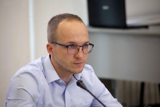
Deputy Chair of the State Geocadastre Dmytro Makarenko spoke about this area of work. According to him, the formation of the personal composition of the working group today is already at the final stage. It included more than 20 representatives from 15 state authorities and expert non-governmental organizations.
“The issue of cartographic propaganda, especially on the part of private publications, is complex, and its scale is impressive, so it is important for us to develop mechanisms to counter it comprehensively, which will be the main goal of the interdepartmental working group,” Makarenko said.
The specialist said that thanks to the work of the State Geocadastre, the Association of National Cartographic and Cadastral Services of Europe (EuroGeographics) also suspended Russia’s membership. Negotiations are also underway with the International Cartographic Association. Thus, the State Geocadastre prepared appropriate amendments to the Charter of the Association, and its executive committee confirmed its intentions to consider the expulsion of Russia. Currently, the position of Ukraine at the General Assembly in South Africa is being prepared. At the same time, the Ukrainian side garnered the support of delegates from different countries.
The video of the event can be viewed at the link.
Center for Strategic Communication and Information Security


