Satellite imagery of Berdiansk port attack consequences published

Satellite imagery of Berdiansk port attack consequences published

photo
Ukrinform
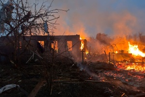
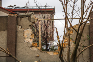
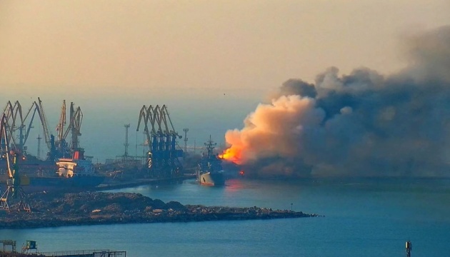
Imagery of the consequences of the attack on the port in temporarily occupied Berdiansk, Zaporizhzhia region, has been published.

“Damage from a recent strike on the port of Russian-occupied Berdyansk is visible in new satellite imagery. This site is more than 90 kilometers from the front line in Ukraine,” OSINT analyst Brady Africk posted on Twitter.

The first picture was taken on May 31, 2023, the second - on June 3.

Read also: At least eight explosions ring out in Berdiansk

As reported, five loud explosions rang out in temporarily captured Melitopol.

Illustrative photo 

While citing and using any materials on the Internet, links to the website ukrinform.net not lower than the first paragraph are mandatory. In addition, citing the translated materials of foreign media outlets is possible only if there is a link to the website ukrinform.net and the website of a foreign media outlet. Materials marked as "Advertisement" or with a disclaimer reading "The material has been posted in accordance with Part 3 of Article 9 of the Law of Ukraine "On Advertising" No. 270/96-VR of July 3, 1996 and the Law of Ukraine "On the Media" No. 2849-Х of March 31, 2023 and on the basis of an agreement/invoice.

© 2015-2024 Ukrinform. All rights reserved.

Website design Studio Laconica

Extended searchHide extended search
By period:
-