Maxar releases satellite images showing destroyed Bakhmut
photos
Ukrinform
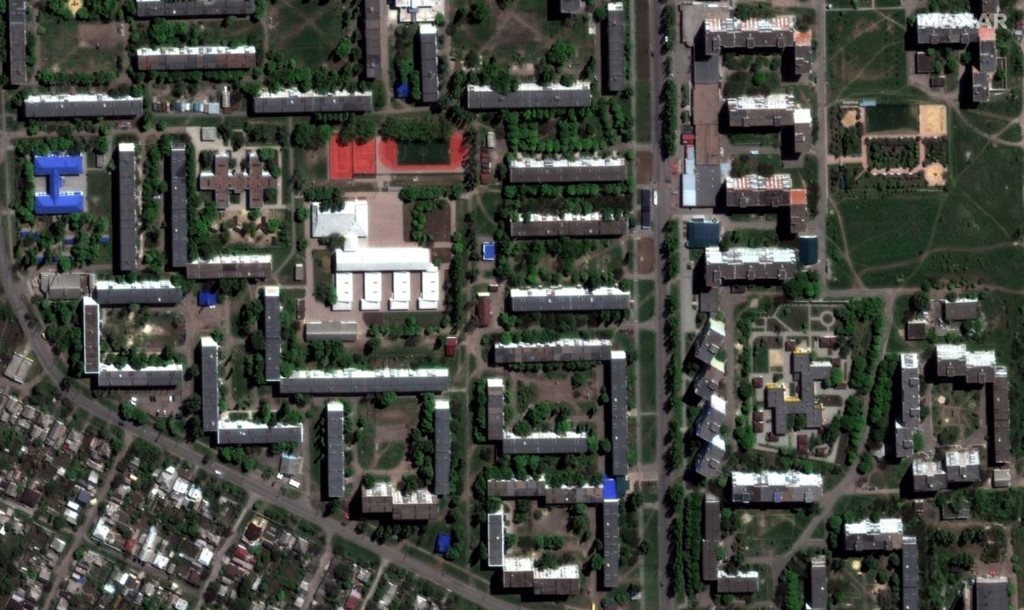
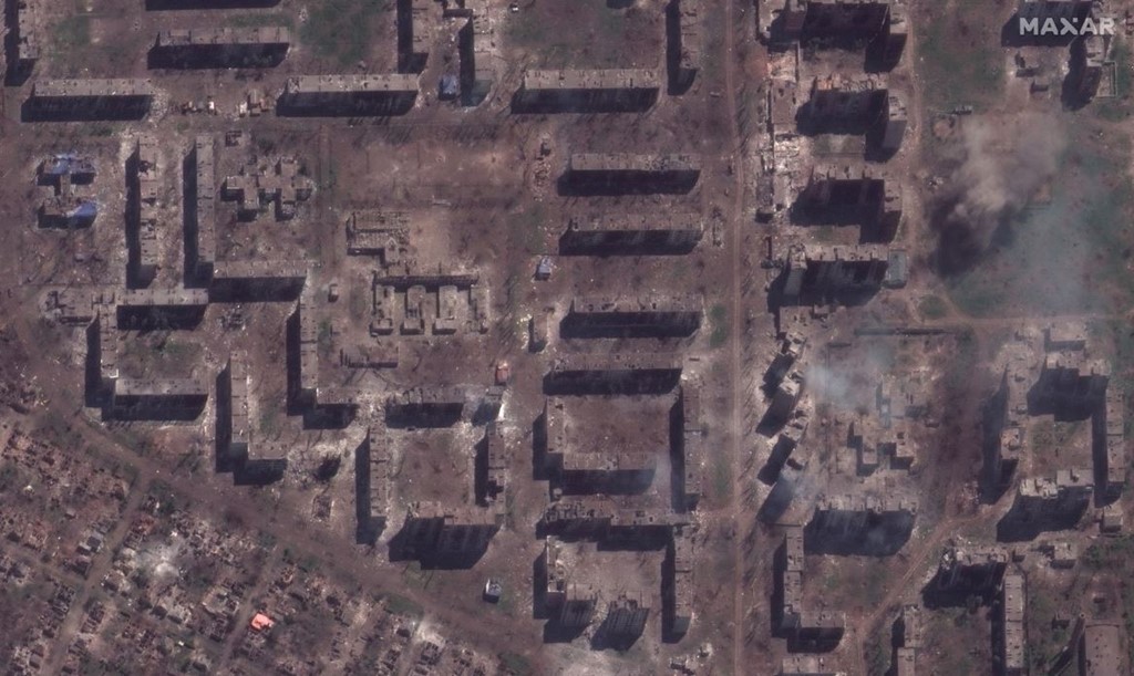
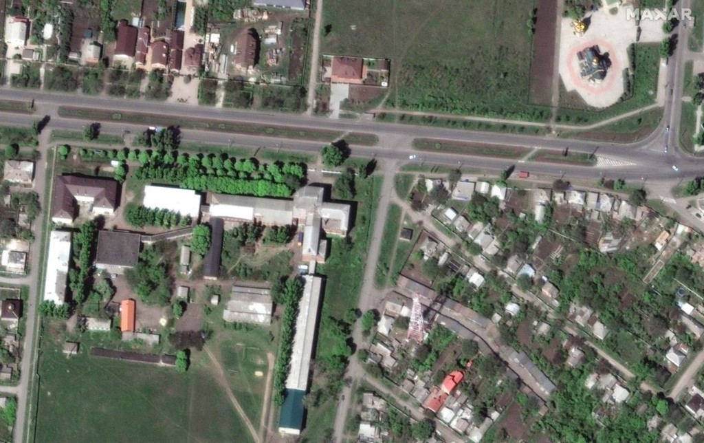
Maxar Technologies released high-resolution satellite images showing parts of Bakhmut city, Donetsk region, in May last year and this month.
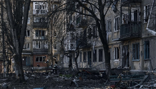
They show in graphic detail the level of destruction that's been caused, Sky News reports.
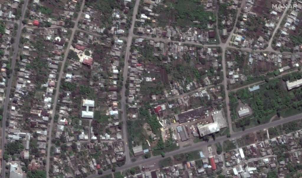

Maxar said "rows of apartment buildings, schools, stores and other infrastructure have been reduced to smouldering rubble".
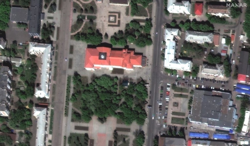
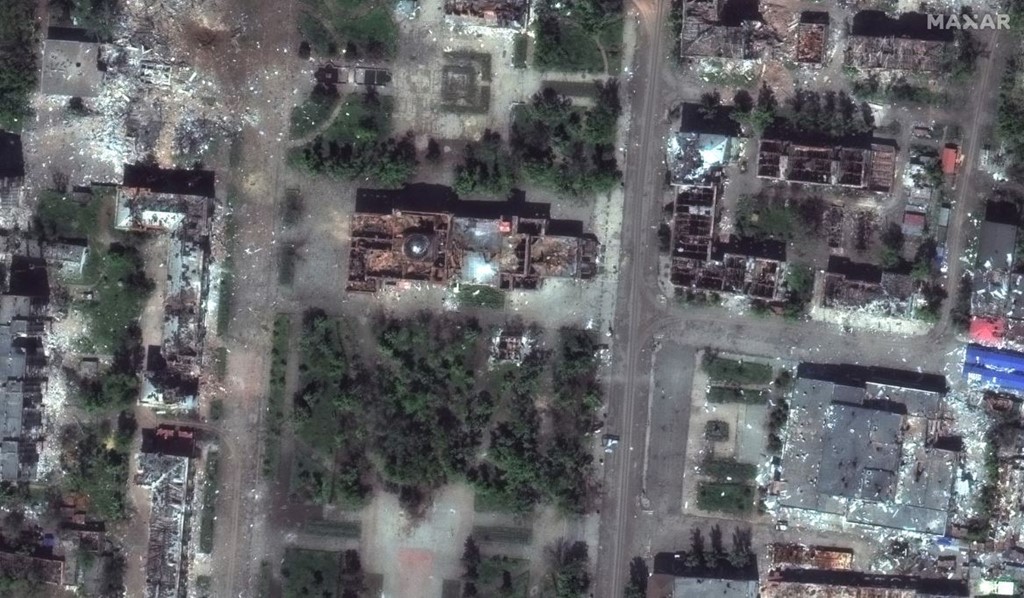
"Parts of the city that had been lined with trees and parks a year ago are now completely stripped of all vegetation and are covered by brown/red dust and debris," reads the report.
As reported, according to the General Staff data, 25 combat engagements took place in four directions during the day. The Russian army continues to focus its main efforts on Lyman, Bakhmut, Avdiyivka, and Maryinka directions.

First photo: Kostiantyn Liberov
Photo in the text: Satellite image ©2023 Maxar Technologies

