PM Honcharuk instructs to create digital model of Ukraine’s territory
Ukrinform
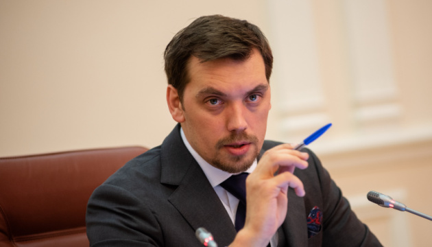
Prime Minister of Ukraine Oleksiy Honcharuk has instructed the central office and heads of regional departments of the State Service of Ukraine for Geodesy, Cartography and Cadastre to complete the creation of a modern digital model of the territory of Ukraine before the end of 2020.
“I instruct to carry out all the activities in time and complete the creation of a modern digital model of the territory of Ukraine before the end of 2020. The land cadastre should be 100% completed next year,” Honcharuk said at a meeting dedicated to the reform of the activities of the State Service of Ukraine for Geodesy, Cartography and Cadastre, an Ukrinform correspondent reports.
According to him, it is necessary to take inventory of all the land plots (including 10 million hectares of state-owned agricultural land) and enter this information into the cadastre before August 1, 2020.
ol


